-
Hêtraie-chênaie

-
Château de Waldeck : intérieur
-
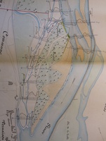
Map (Villeneuve-lès-Avignon to the sea, 1835)
-
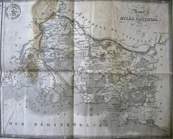
Map (Donzère to Aramon, 1835)
-
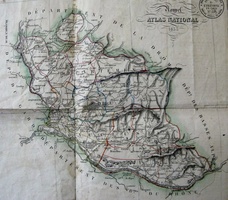
Map (Arles to the sea, 1856)
-
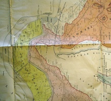
Map (Arles to the sea, 1583-1706)
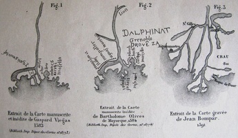
-
Map (Rhône delta, 1841-1865)
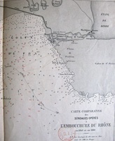
-
Map (Arles to the sea, 1813)
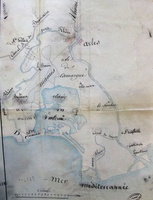
-
Map (Arles to the sea, 1844)
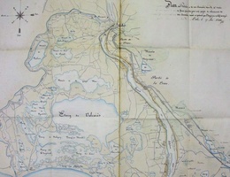
-
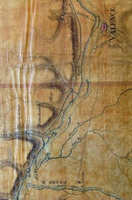
Map/Cross section/Long profile/Slope table (Lyon to the sea, 1822-1824)
-
Map (St Rambert to Pont-St-Esprit, 1833)

-
Map (St-Marcel-d'Ardèche to Barbentane , 1834)

-
Map (Meysse to St Just, 1835)

-
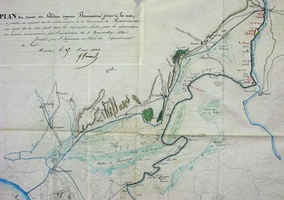
Map (Beaucaire to the sea, 1844)
-
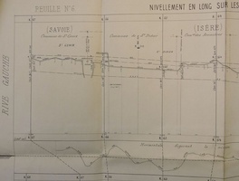
Long profile (Seyssel to Lyon, 1869)
-
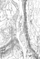
Map (Surjoux to the sea, 1857-1876)
-
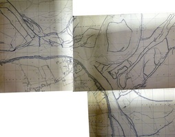
Map (Virignin to Caderousse, 1910)
-
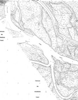
Map (Anglefort to Caderousse, 1946-1983)
-
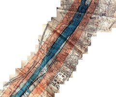
Map/Bathymetry (Lyon to Montélimar, 1921-1922)
-
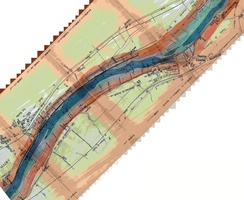
Map/Bathymetry (Lyon to the sea, 1897-1908)
-
Map/Bathymetry (Lyon to Donzère, 1891)
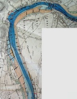
-
Map (Beaucaire to the sea, Late 18th c.)
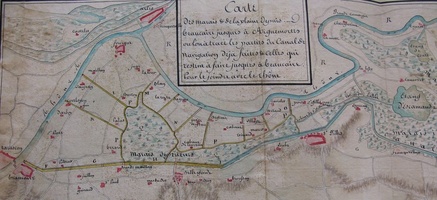
-
Map (Beaucaire to the sea, 1795)
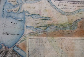
-
Map (Beaucaire to the sea, 1790)
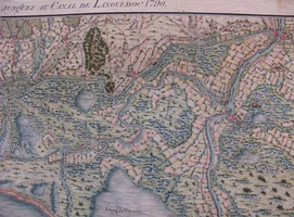
-
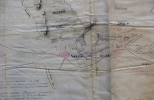
Map (Tarascon to the sea, 18th c.)
-
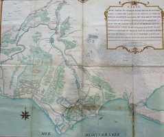
Map (Beaucaire to the sea, 18th c.)
-
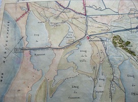
Map (Beaucaire to the sea, 18th c.)
-
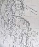
Map (Tarascon to the sea, 1876)
-
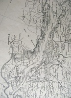
Map (Donzère to Aramon, 1876)
-
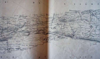
Map (Surjoux to Lyon, 1871)
-
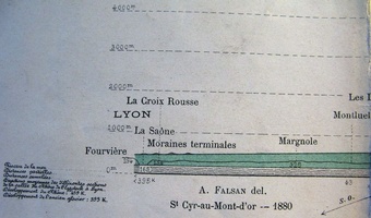
Long profile (Haut-Valais to Lyon, 1880)
-
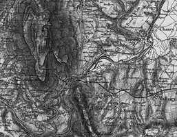
Map (Genève to the sea, 1832-1941)
-
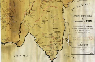
Map (Genève to Vénéjan, 1922-1956)
-
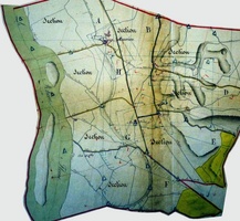
Map (St-Maurice-l'Exil to Piolenc, 1810-1832)
-
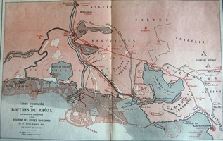
Map (Beaucaire to the sea, 400-1866 ?)
-
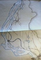
Map (Durance confluence to the sea, 1841)
-
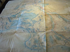
Map (Fourques to the sea, 1846)
-
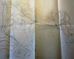
Map/Cross section (Camargue, 1845)
-
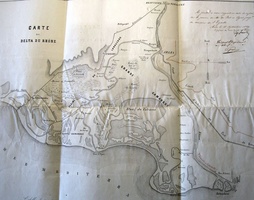
Map (Beaucaire to the sea, 1849)
-
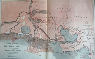
Map (Beaucaire to the sea, 1866)
-
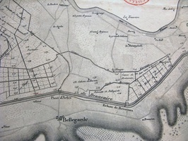
Map (Tarascon to Aiguemortes, 1833)
-
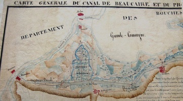
Map (Beaucaire to the sea, 1823)
-
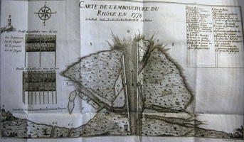
Map/Text (Arles to the sea, 1706-1846)
-
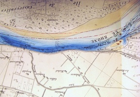
Map/Bathymetry (Lyon to the sea, 1874-1876)
-
Map/Cross section (Lyon, 1854)
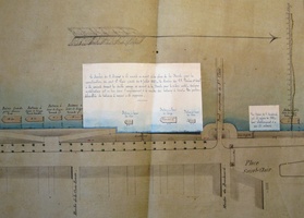
-
Map/Cross section (Aramon to Vallabrègues, 1863-1864)
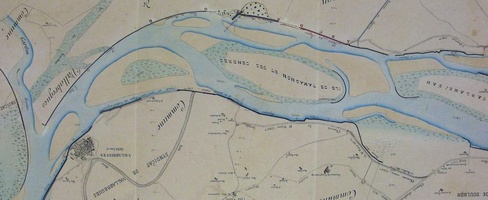
-
Map (Chateauneuf, 1858)
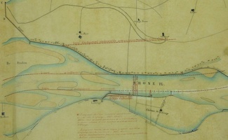
-
Map (Bourg-St-Andéol, 1856)
-
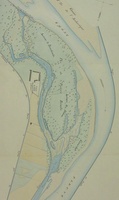
Map (Pierre-Bénite, 1863)
-
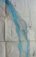
Map (La Coucourde, 1855)
-
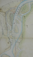
Map (St Montant, 1859)
-
Map (Viviers, 1859)

-
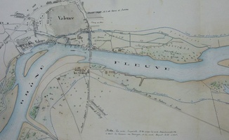
Map (Valence, 1859)
-
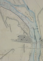
Map (Beaucaire, 1856)
-
Map (St-Etienne-des-Sorts, 1861)

-
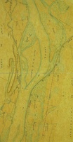
Map (Le Teil, 1861)
-
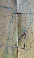
Map (Ancone, 1860)
-
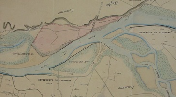
Map (Barbentane, 1864)
-
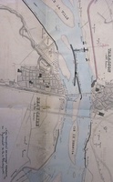
Map/Cross section (Vallabrègues to Beaucaire, 1855)
-
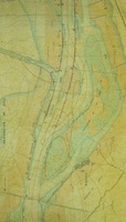
Map (Rochemaure, 1860)
-
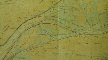
Map (Soyons, 1860)
-
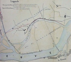
Map (Le Pouzin, 1858)
-
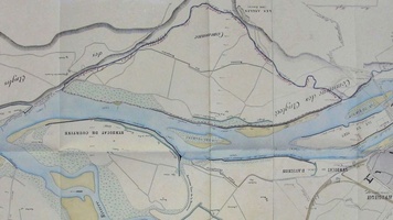
Map (Les Angles, 1859)
-
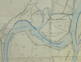
Map (Sorgues, 1859)
-
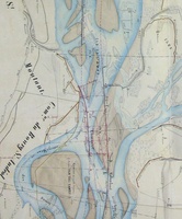
Map/Cross section (Bourg-St-Andéol, 1859-1862)
-
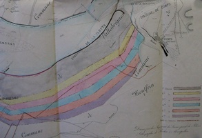
Map (Aramon to Comps, 1858)
-
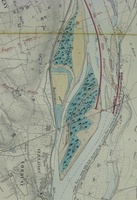
Map/Cross section (Solaize & Vernaison, 1861)
-
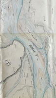
Map (Bourg-St-Andéol to Pont-St-Esprit, 1855)
-
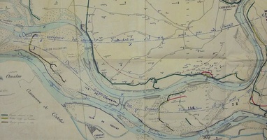
Map (Chusclan to Sorgues, 1856)
-
Map/Cross section/Bathymetry (Irigny & Solaise , 1864)

-
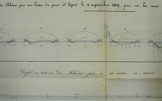
Cross section (Pont-St-Esprit & Roquemaure, 1839)
-
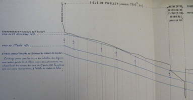
Long profile (Anglefort to Chanaz, 1863)
-
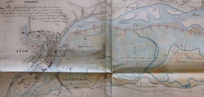
Map/Long profile (Jons to Pierre-Bénite, 1837)
-
Map (Codolet, 1824-1861)

-
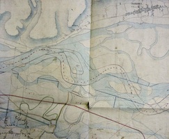
Map (Jonage to Lyon, 1827)
-
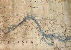
Map (Cressin to St-Genix-sur-Guiers, 1831)
-
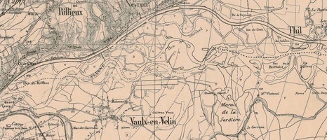
Map (Nievroz to Irigny, 1875)
-
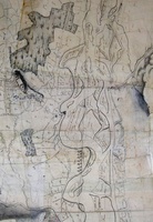
Map (Seyssel to Virignin, ~ 1750)
-
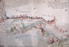
Map (Yenne to Cordon, 18th c.)
-
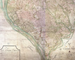
Map (Genève to Aoste, 1728-1738)

Bienvenue dans la photothèque du Laboratoire d'Excellence "Dispositif de Recherche Interdisciplinaire sur les Interactions Hommes-Milieux" (DRIIHM) composé de 13 Observatoires Hommes-Milieux.
Welcome to the photo library of the "Device for Interdisciplinary Research on Human-environments Interactions" (DRIIHM) Laboratory of Excellence.
Propulsé par Piwigo