

Bienvenue dans la photothèque du Laboratoire d'Excellence "Dispositif de Recherche Interdisciplinaire sur les Interactions Hommes-Milieux" (DRIIHM) composé de 13 Observatoires Hommes-Milieux.
Welcome to the photo library of the "Device for Interdisciplinary Research on Human-environments Interactions" (DRIIHM) Laboratory of Excellence.
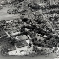

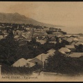
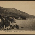
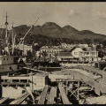
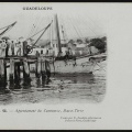
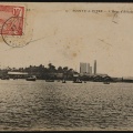
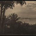
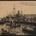
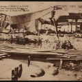
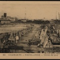
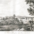
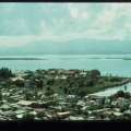
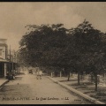
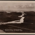
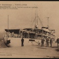
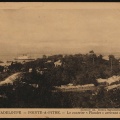
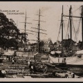
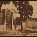
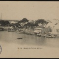
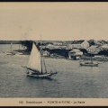
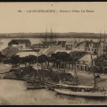
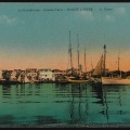
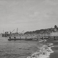
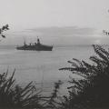
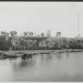
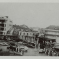
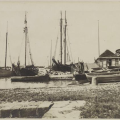
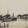
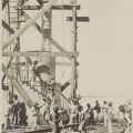
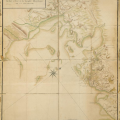
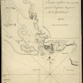
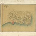
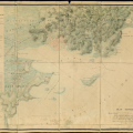
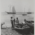
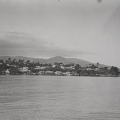
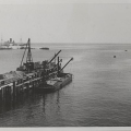
![Basse-Terre - [...] prise du cimetière](_data/i/upload/2019/02/15/20190215161402-eb623b8d-sq.jpg)
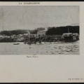
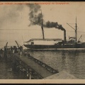

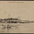
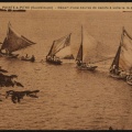
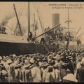
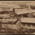
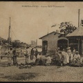
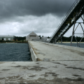

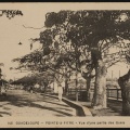
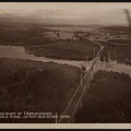
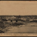
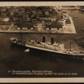

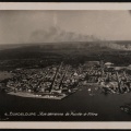
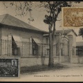
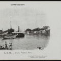
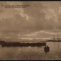

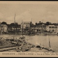
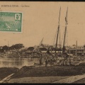
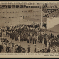
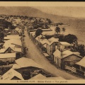
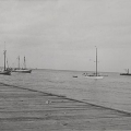
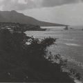
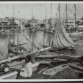
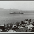
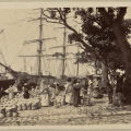
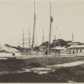
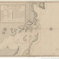
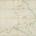
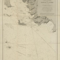
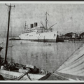
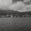
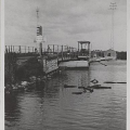
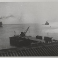
![Basse-Terre. Appontement de la [Compagnie générale] Transatlantique](_data/i/upload/2019/01/28/20190128094510-a23eba57-sq.png)

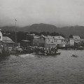
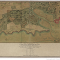
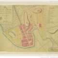
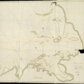
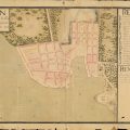
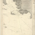
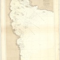
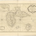
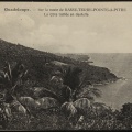
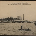
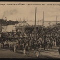
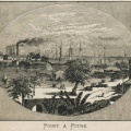
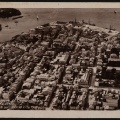
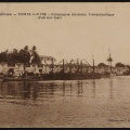
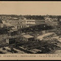
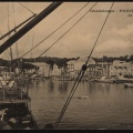
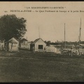
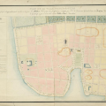
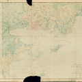
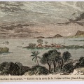
![Plan de la ville Pointe-à-Pitre située en l'Isle Grande Terre Guadeloupe dressé par le S[r] Nassau après l'incendie du 30 mars 1780](_data/i/upload/2019/01/28/20190128094414-b6a1125a-sq.png)
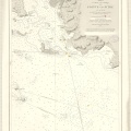
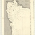
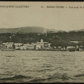
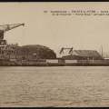
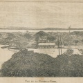
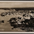
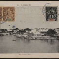
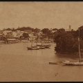
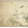
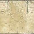
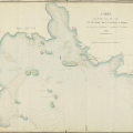
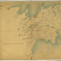
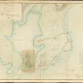
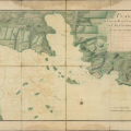
![Plan de la ville Pointe à Pitre en l'Isle Grande-Terre Guadeloupe levé et dessiné par le S[ieu]r Nassau Arpenteur breveté du Roi et Adjoint au Grand Voyer de l'isle en 1783 et 1784](_data/i/upload/2019/01/28/20190128094415-e5549bf2-sq.png)


Information
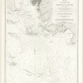
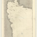
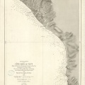
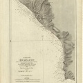
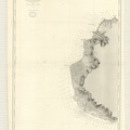
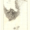
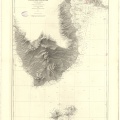
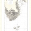
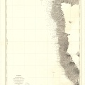
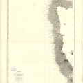
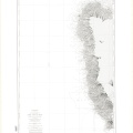
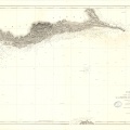
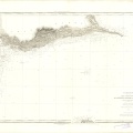
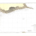
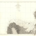
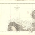
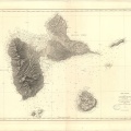
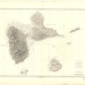
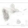
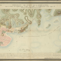
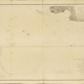
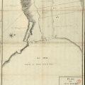
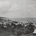
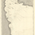
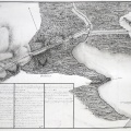
- Auteur
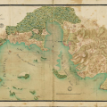
- Capitaine de Frégate Boucarut
- Mots-clés
- bathymétrie, carte marine, histoire, toponymie
- Albums
- OHM Littoral Caraïbe / Cartes
- Fonds/Photographic fund
- SHOM - Archives Cartes marines anciennes
- Nature de la ressource/Resource type
- Carte
- Date
- 1872
- Période/Period
- 1850-1899
- Commune/Municipality
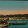
- Basse-Terre
- Secteur/Sector
- Basse-Terre
- Echelle/Scale
- 1/12500
- Lieu visé ou point de visée/Targeted place or photographer geolocation
- Lieu visé
- Projet OHM/OHM project
- Géohistoire 2017
- Ressource liée/Linked resource
- https://diffusion.shom.fr/pro/amenagement/archives-maritimes/archives-cartes-marines-anciennes.html
- Licence
- Creative Commons (BY-NC)
Propulsé par Piwigo