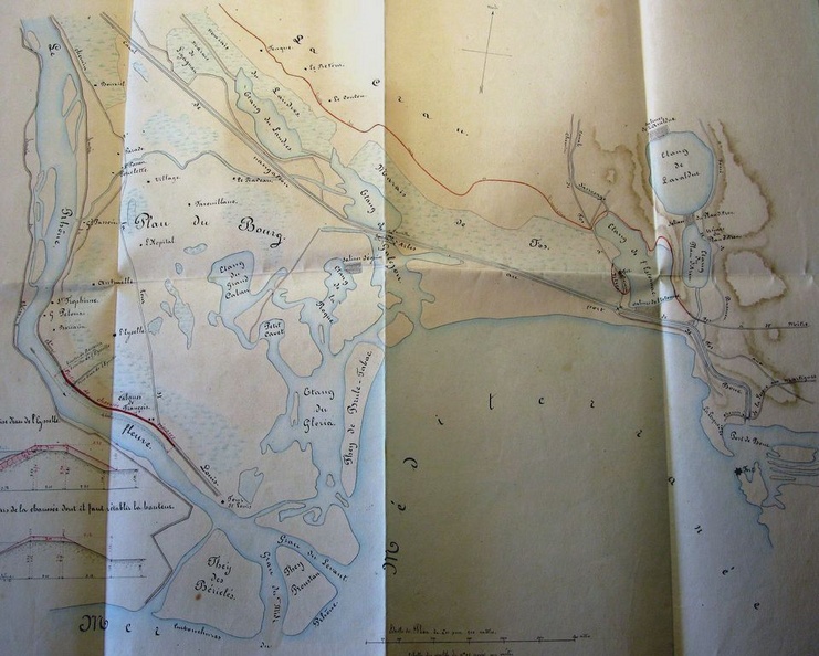
Original title (in French): Plan de la partie occidentale de la basse Camargue et du Levadon des Saintes Maries (...). English title: Map of the western part of the lower Camargue and the Levadon of Saintes Maries (...).

Original title (in French): Plan de la partie occidentale de la basse Camargue et du Levadon des Saintes Maries (...). English title: Map of the western part of the lower Camargue and the Levadon of Saintes Maries (...).