[ arrêter le diaporama ]

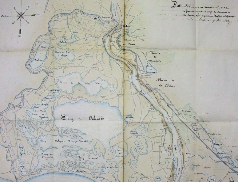
Map (Arles to the sea, 1844)

9/350
497.jpg Map (Arles to the sea, 1813)MiniaturesMap/Cross section/Long profile/Slope table (Lyon to the sea, 1822-1824)Map (Arles to the sea, 1813)MiniaturesMap/Cross section/Long profile/Slope table (Lyon to the sea, 1822-1824)Map (Arles to the sea, 1813)MiniaturesMap/Cross section/Long profile/Slope table (Lyon to the sea, 1822-1824)Map (Arles to the sea, 1813)MiniaturesMap/Cross section/Long profile/Slope table (Lyon to the sea, 1822-1824)Map (Arles to the sea, 1813)MiniaturesMap/Cross section/Long profile/Slope table (Lyon to the sea, 1822-1824)Map (Arles to the sea, 1813)MiniaturesMap/Cross section/Long profile/Slope table (Lyon to the sea, 1822-1824)

Original title (in French): Plan du Rhône et de ses chaussées, dans la 4ème section du fleuve, pour être joint aux projets de rehaussement des dites chaussées. English title: Plan of the Rhône river and its roadways, in the 4th section of the river, to be attached to the roadway raising projects.