Bienvenue dans la photothèque du Laboratoire d'Excellence "Dispositif de Recherche Interdisciplinaire sur les Interactions Hommes-Milieux" (DRIIHM) composé de 13 Observatoires Hommes-Milieux.

Welcome to the photo library of the "Device for Interdisciplinary Research on Human-environments Interactions" (DRIIHM) Laboratory of Excellence.

[ arrêter le diaporama ]

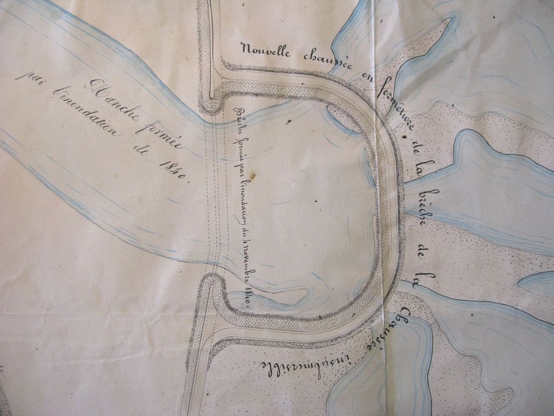
Map (Boulbon, 1845)

217.jpg Map (Pont-St-Esprit, 1756-1822)MiniaturesMap/Cross section (Lyon, 1855)Map (Pont-St-Esprit, 1756-1822)MiniaturesMap/Cross section (Lyon, 1855)Map (Pont-St-Esprit, 1756-1822)MiniaturesMap/Cross section (Lyon, 1855)Map (Pont-St-Esprit, 1756-1822)MiniaturesMap/Cross section (Lyon, 1855)Map (Pont-St-Esprit, 1756-1822)MiniaturesMap/Cross section (Lyon, 1855)Map (Pont-St-Esprit, 1756-1822)MiniaturesMap/Cross section (Lyon, 1855)

Original title (in French): Plan de la rive gauche du Rhône aux abords des brêches faites au chemin de halage et à la chaussée insubmersible de Boulbon par l'inondation du 4 novembre 1840. English title: Map of the left bank of the Rhône river near the breaches made to the towpath and the Boulbon unsubmersible roadway by the flood of 4 November 1840.