Bienvenue dans la photothèque du Laboratoire d'Excellence "Dispositif de Recherche Interdisciplinaire sur les Interactions Hommes-Milieux" (DRIIHM) composé de 13 Observatoires Hommes-Milieux.

Welcome to the photo library of the "Device for Interdisciplinary Research on Human-environments Interactions" (DRIIHM) Laboratory of Excellence.

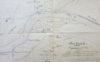
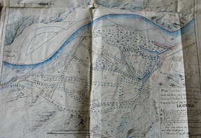
  • Map (Tournon, 1841) Map (Tournon, 1841)
  • Map (Le Pouzin, 1847) Map (Le Pouzin, 1847)
  • Map (Bourg-St-Andéol to Pont-St-Esprit, 1856) Map (Bourg-St-Andéol to Pont-St-Esprit, 1856)
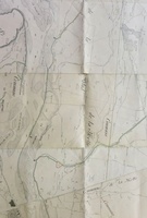
  • Map (La Voulte, 1851) Map (La Voulte, 1851)
  • Map (Roquemaure to Avignon, 1854) Map (Roquemaure to Avignon, 1854)
  • Map (St-Fons, 1844) Map (St-Fons, 1844)
  • Map (Etoile-sur-Rhône to La Voulte, 1841) Map (Etoile-sur-Rhône to La Voulte, 1841)
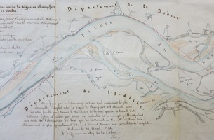
  • Map (Viviers, 1856) Map (Viviers, 1856)
  • Map (Cordon, 1861) Map (Cordon, 1861)
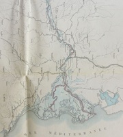
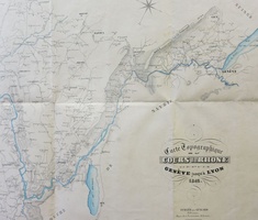
  • Map (Genève to the sea, ~ 1860) Map (Genève to the sea, ~ 1860)
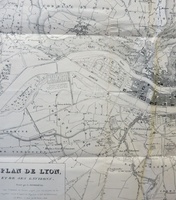
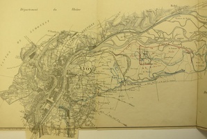
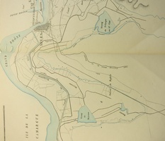
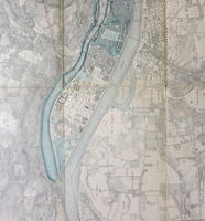
  • Map (Lyon, 1850) Map (Lyon, 1850)
  • Map (Irigny, 1642-1660) Map (Irigny, 1642-1660)
  • Map/Long profile (St-Clair-du-Rhône to Sablons, 1842) Map/Long profile (St-Clair-du-Rhône to Sablons, 1842)
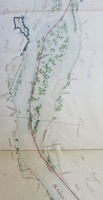
  • Map/Cross section (Aramon to Vallabrègues, 1847) Map/Cross section (Aramon to Vallabrègues, 1847)
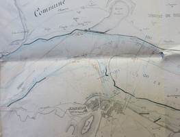
  • Map (Beaucaire, 1807) Map (Beaucaire, 1807)
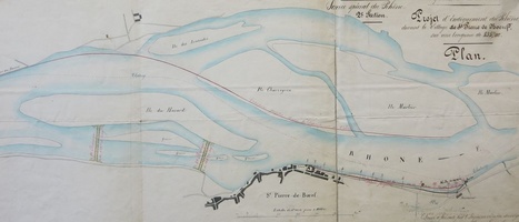
  • Map (Vérin to St-Pierre-de-Bœuf, 1842) Map (Vérin to St-Pierre-de-Bœuf, 1842)
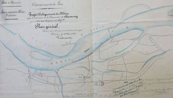
  • Map (Chavanay, 1845) Map (Chavanay, 1845)
  • Map (Chavanay, 1850) Map (Chavanay, 1850)
  • Map/Cross section (Chavanay, 1851) Map/Cross section (Chavanay, 1851)
  • Map/Cross section (Vernaison, 1842-1845) Map/Cross section (Vernaison, 1842-1845)
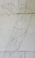
  • Map (Arles to the sea, 1849) Map (Arles to the sea, 1849)
  • Map/Bathymetry (Arles to the sea, 1850) Map/Bathymetry (Arles to the sea, 1850)
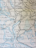
  • Map (La Voulte to Drôme confluence, 1850) Map (La Voulte to Drôme confluence, 1850)
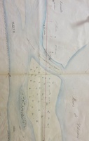
  • Map (Lyon, 1840) Map (Lyon, 1840)
  • Map (Givors, 1844) Map (Givors, 1844)
  • Map/Long profile (Vernaison, 1848) Map/Long profile (Vernaison, 1848)
  • Map (St-Pierre-de-Bœuf to Sablons, 1846) Map (St-Pierre-de-Bœuf to Sablons, 1846)
  • Map/Bathymetry/Cross section/Long profile (Les Angles to Beaucaire, 1782-1848) Map/Bathymetry/Cross section/Long profile (Les Angles to Beaucaire, 1782-1848)
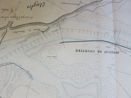
  • Map (St-Pierre-de-Bœuf, 1846) Map (St-Pierre-de-Bœuf, 1846)
  • Map (Valence, 1845) Map (Valence, 1845)
  • Map (Etoile-sur-Rhône to La Voulte, 1843) Map (Etoile-sur-Rhône to La Voulte, 1843)
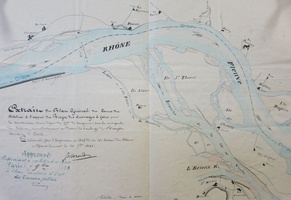
  • Map (Mauves, 1847) Map (Mauves, 1847)
  • Map (La Voulte, 1847) Map (La Voulte, 1847)
  • Map (Pierre-Benite, 1847) Map (Pierre-Benite, 1847)
  • Map (Beauchastel, 1844) Map (Beauchastel, 1844)
  • Map (Baix, 1846) Map (Baix, 1846)
  • Map (Lyon to Donzère, 1845) Map (Lyon to Donzère, 1845)
  • Long profile (Lyon to St-Vallier, 1874-1882) Long profile (Lyon to St-Vallier, 1874-1882)
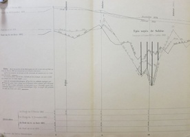
  • Long profile (Cornas to the sea, 1874-1882) Long profile (Cornas to the sea, 1874-1882)
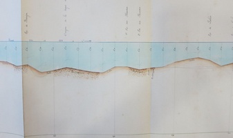
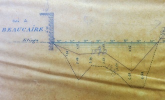
  • Cross section (Beaucaire, 1845-1850) Cross section (Beaucaire, 1845-1850)
  • Cross section (Roquemaure to Beaucaire, 1847) Cross section (Roquemaure to Beaucaire, 1847)
  • Map/Bathymetry (Beaucaire to Arles, 1852) Map/Bathymetry (Beaucaire to Arles, 1852)
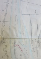
  • Table/Long profile (Surjoux to the sea, 1867-1903) Table/Long profile (Surjoux to the sea, 1867-1903)
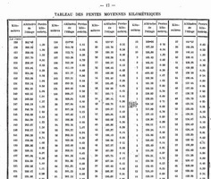
  • Map/Bathymetry (Chavanay to Limony, 1868) Map/Bathymetry (Chavanay to Limony, 1868)
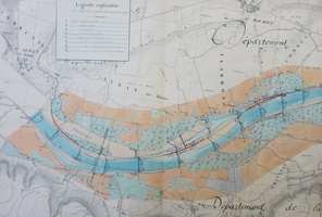
  • Map/Cross section (Lyon, 1854) Map/Cross section (Lyon, 1854)
  • Map (Condrieu, 1855) Map (Condrieu, 1855)
  • Map (Miribel, 1850) Map (Miribel, 1850)
  • Map/Cross section (Thil, 1849) Map/Cross section (Thil, 1849)
  • Map (Thil, 1854) Map (Thil, 1854)
  • Map/Cross section (Thil to Lyon, 1848) Map/Cross section (Thil to Lyon, 1848)
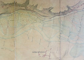
  • Map/Cross section (Rillieux-la-Pape, 1853) Map/Cross section (Rillieux-la-Pape, 1853)
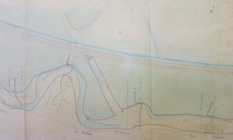
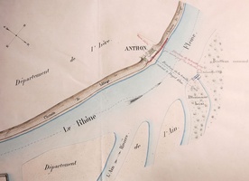
  • Map (Anthon, 1855) Map (Anthon, 1855)
  • Map/Cross section/Long profile (Ain confluence to Lyon, 1847) Map/Cross section/Long profile (Ain confluence to Lyon, 1847)
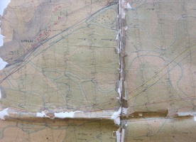
  • Map/Cross section/Long profile (Sault to Vertrieu, 1842) Map/Cross section/Long profile (Sault to Vertrieu, 1842)
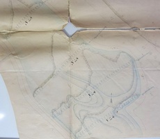
  • Map/Cross section (Lyon, 1846-1850) Map/Cross section (Lyon, 1846-1850)
  • Map (Lyon, 1730-1740) Map (Lyon, 1730-1740)
  • Map/Bathymetry (Lyon, 1853) Map/Bathymetry (Lyon, 1853)
  • Map/Cross section (Lyon, 1833-1840) Map/Cross section (Lyon, 1833-1840)
  • Map (Genève to Lyon, 1842) Map (Genève to Lyon, 1842)
  • Map (Genève to Lyon, 1857) Map (Genève to Lyon, 1857)
  • Map (Lyon to Arles, 1856) Map (Lyon to Arles, 1856)
  • Map (Lyon, 1858) Map (Lyon, 1858)
  • Map (Rochemaure, 1856) Map (Rochemaure, 1856)
  • Map (Beauchastel, 1841) Map (Beauchastel, 1841)
  • Map/Cross section (Lyon, 1847) Map/Cross section (Lyon, 1847)
  • Map (Lyon, 1840) Map (Lyon, 1840)
  • Map (Lyon, 1850) Map (Lyon, 1850)
  • Map (Villeurbanne, 1838) Map (Villeurbanne, 1838)
  • Map (Vaulx-en-Velin to Lyon, 1817-1836) Map (Vaulx-en-Velin to Lyon, 1817-1836)
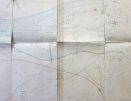
  • Map (Lyon, 1846) Map (Lyon, 1846)
  • Map (Donzère, 1856) Map (Donzère, 1856)
  • Map (Roquemaure to Caderousse, 1819) Map (Roquemaure to Caderousse, 1819)
  • Map (Pont-St-Esprit, 1756-1822) Map (Pont-St-Esprit, 1756-1822)
  • Map (Tournon, 1856) Map (Tournon, 1856)
  • Map (Tournon, 1858) Map (Tournon, 1858)
  • Map/Cross section (St-Pierre-de-Bœuf, 1862) Map/Cross section (St-Pierre-de-Bœuf, 1862)
  • Map (St-Pierre-de-Bœuf, 1860) Map (St-Pierre-de-Bœuf, 1860)
  • Map/Cross section (Chavanay, 1862) Map/Cross section (Chavanay, 1862)
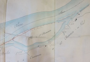
  • Map (St-Romain-en-Gal, 1854) Map (St-Romain-en-Gal, 1854)
  • Map (Le Teil, 1856) Map (Le Teil, 1856)