
Bienvenue dans la photothèque du Laboratoire d'Excellence "Dispositif de Recherche Interdisciplinaire sur les Interactions Hommes-Milieux" (DRIIHM) composé de 13 Observatoires Hommes-Milieux.
Welcome to the photo library of the "Device for Interdisciplinary Research on Human-environments Interactions" (DRIIHM) Laboratory of Excellence.

Information
- Autor
- Josserand
- Fonds/Photographic fund
- Archives Départementales du Rhône (reference: S 1397)
- Nature de la ressource/Resource type
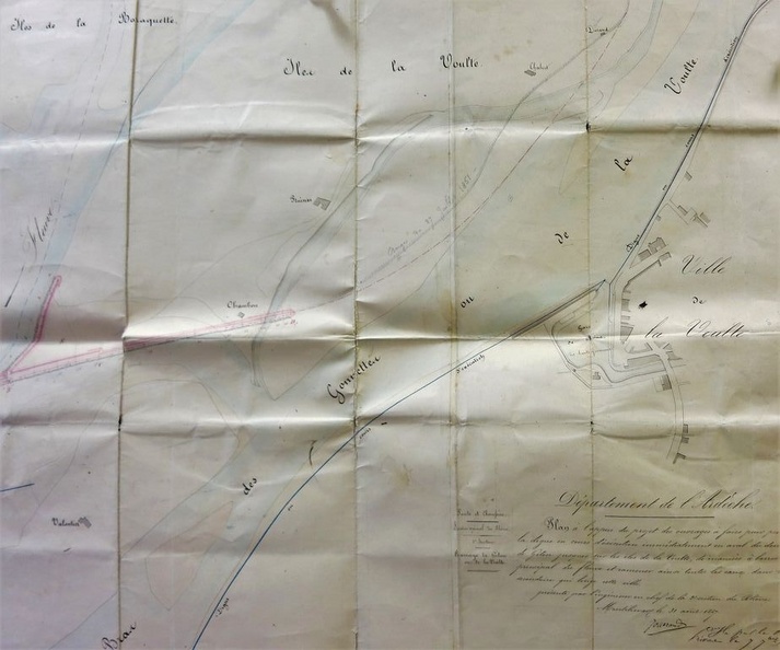
- Map
- Période/Period
- 1847
- Secteur/Sector
- La Voulte (3 km long)
- Echelle/Scale
- 1/2500
- Licença
- Creative Commons (BY-NC)
EXIF Metadata
Canon Canon PowerShot S110
- Make
- Canon
- Model
- Canon PowerShot S110
- DateTimeOriginal
- 2020:01:24 16:30:49
- ApertureFNumber
- f/2.0
Desenvolvido por Piwigo