Bienvenue dans la photothèque du Laboratoire d'Excellence "Dispositif de Recherche Interdisciplinaire sur les Interactions Hommes-Milieux" (DRIIHM) composé de 13 Observatoires Hommes-Milieux.

Welcome to the photo library of the "Device for Interdisciplinary Research on Human-environments Interactions" (DRIIHM) Laboratory of Excellence.

[ arrêter le diaporama ]

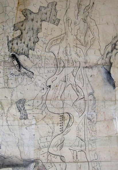
Map (Seyssel to Virignin, ~ 1750)

490.jpg Map (Nievroz to Irigny, 1875)MiniaturesMap (Yenne to Cordon, 18th c.)Map (Nievroz to Irigny, 1875)MiniaturesMap (Yenne to Cordon, 18th c.)Map (Nievroz to Irigny, 1875)MiniaturesMap (Yenne to Cordon, 18th c.)Map (Nievroz to Irigny, 1875)MiniaturesMap (Yenne to Cordon, 18th c.)Map (Nievroz to Irigny, 1875)MiniaturesMap (Yenne to Cordon, 18th c.)Map (Nievroz to Irigny, 1875)MiniaturesMap (Yenne to Cordon, 18th c.)

Original title (in French): Plan du cours du Rhône depuis Seyssel jusqu'à Pierre-Châtel sur le territoire de Virignin, ainsi que les communes avoisinantes. English title: Map of the Rhône river from Seyssel to Pierre-Châtel on the territory of Virignin and neighbouring towns.