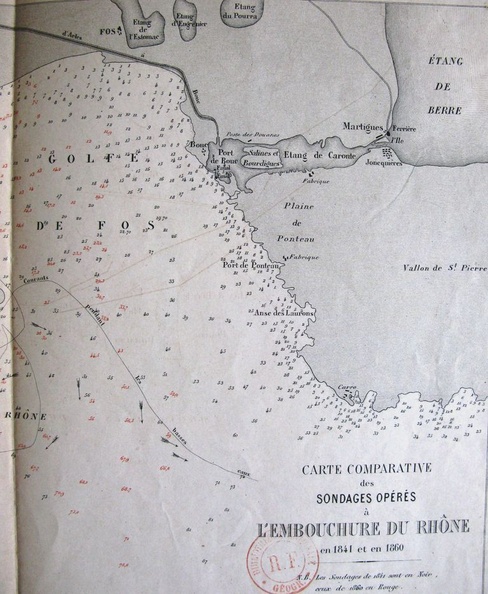
Original title (in French): Carte comparative des sondages opérés à l'embouchure du Rhône en 1841 et 1860. English title: Comparative map of surveys performed in the Rhône delta in 1841 and 1860.

Original title (in French): Carte comparative des sondages opérés à l'embouchure du Rhône en 1841 et 1860. English title: Comparative map of surveys performed in the Rhône delta in 1841 and 1860.