[ arrêter le diaporama ]

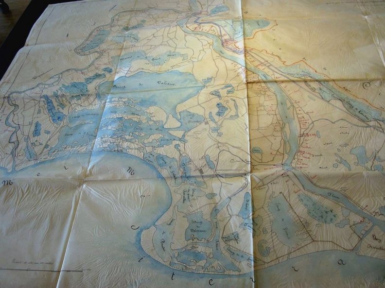
Map (Fourques to the sea, 1846)

37/350
555.jpg Map (Durance confluence to the sea, 1841)MiniaturesMap/Cross section (Camargue, 1845)Map (Durance confluence to the sea, 1841)MiniaturesMap/Cross section (Camargue, 1845)Map (Durance confluence to the sea, 1841)MiniaturesMap/Cross section (Camargue, 1845)Map (Durance confluence to the sea, 1841)MiniaturesMap/Cross section (Camargue, 1845)Map (Durance confluence to the sea, 1841)MiniaturesMap/Cross section (Camargue, 1845)Map (Durance confluence to the sea, 1841)MiniaturesMap/Cross section (Camargue, 1845)

Original title (in French): Plan du Rhône (Grand et Petit) indiquant les associations de ses chaussées dans la 4ème section du fleuve, dépendant du département des Bouches du Rhône. English title: Map of the Rhône river (Grand and Petit) indicating the associations of its roadways in the 4th section of the river, depending on the Bouches-du-Rhône department.