Bienvenue dans la photothèque du Laboratoire d'Excellence "Dispositif de Recherche Interdisciplinaire sur les Interactions Hommes-Milieux" (DRIIHM) composé de 13 Observatoires Hommes-Milieux.

Welcome to the photo library of the "Device for Interdisciplinary Research on Human-environments Interactions" (DRIIHM) Laboratory of Excellence.

[ arrêter le diaporama ]

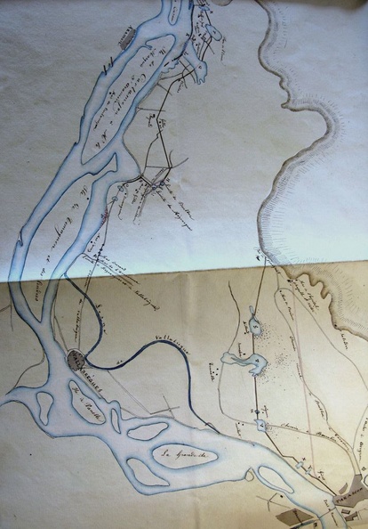
Map (Durance confluence to the sea, 1841)

554.jpg Map (Etoile-sur-Rhône to La Voulte, 1841)MiniaturesMap (Donzère, 1856)Map (Etoile-sur-Rhône to La Voulte, 1841)MiniaturesMap (Donzère, 1856)Map (Etoile-sur-Rhône to La Voulte, 1841)MiniaturesMap (Donzère, 1856)Map (Etoile-sur-Rhône to La Voulte, 1841)MiniaturesMap (Donzère, 1856)Map (Etoile-sur-Rhône to La Voulte, 1841)MiniaturesMap (Donzère, 1856)Map (Etoile-sur-Rhône to La Voulte, 1841)MiniaturesMap (Donzère, 1856)

Original title (in French): Plan général du cours du Rhône embrassant les emplacements des digues à reconstruire dans le département des Bouches du Rhône. English title: General map of the Rhône river encompassing the locations of the dykes to be rebuilt in the Bouches-du-Rhône department .